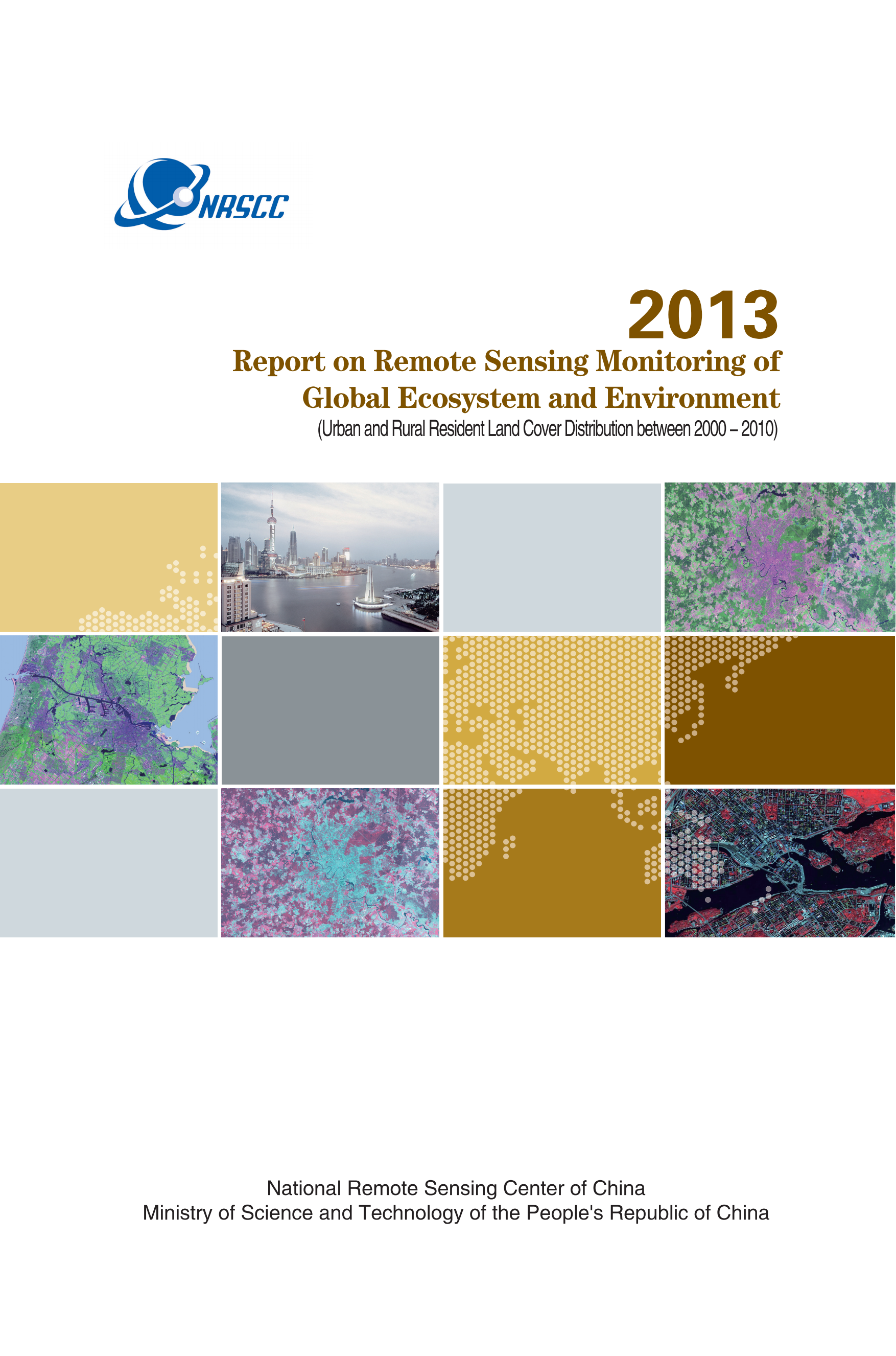
2013-Urban and Rural Resident Land Cover Distribution between 2000-2010
Update Time£º2019-11-03
As a part of 2013 Annual Report, Urban and Rural Resident Land Cover Distribution between 2000-2010 represents the monitoring results of global artificial cover among the global land cover remote sensing data product in 30 meters spatial resolution (GlobalLand30). In statistics, the data on continental and national boundaries in 1:1M scale is used, which is provided by the National Geomatics Center of China (NGCC). The Datasets of Global Urban and Rural Resident Land Cover Distribution between 2000-2010 were developed jointly by NGCC and Beijing Normal University with the coordination by NRSCC.

Report Link: 2013-Urban and Rural Resident Land Cover Distribution between 2000-2010.pdf