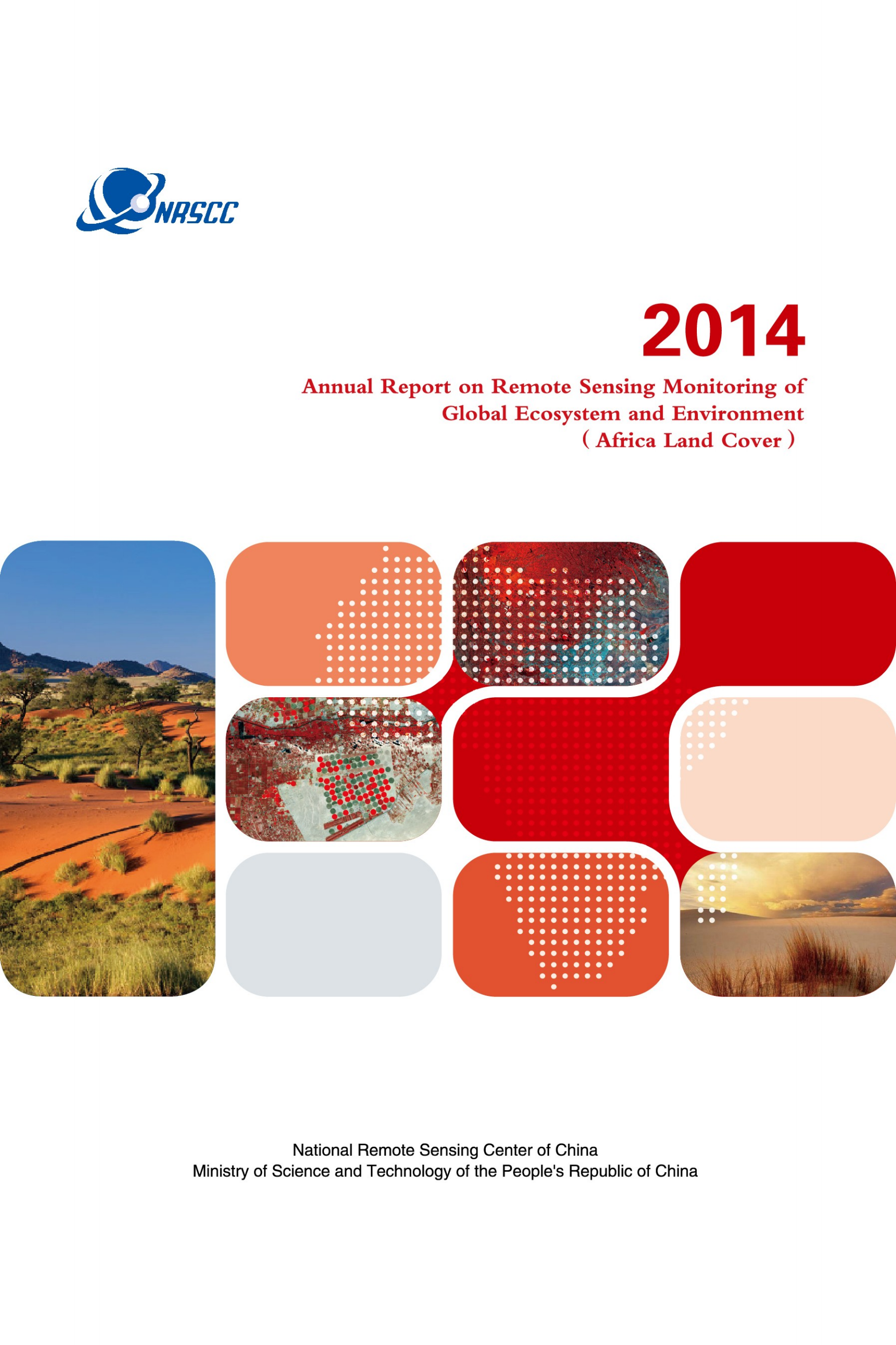
2014-Afica Land Cover
Update Time£º2019-11-03
As a part of 2014 Annual Report, Afica Land Cover represents the monitored results of land covers (i.e. cropland, forest, glassland, shrubland, water body, bareland, snow and ice) in the Africa continent and land cover changes in 15 years in selected regions. The data on continental and national boundaries in 1:1M scale is used, which is provided by the National Geomatrics Center of China (NGCC), National Administration of Surveying, Mapping and Geo-information. The datasets and report are developed by Tsinghua University with the support of the Institute of Remote Sensing and Digital Earth, Chinese Academy of Sciences.
